Visit to the Cape of Good Hope
34.35759˚ S, 18.4752˚ E
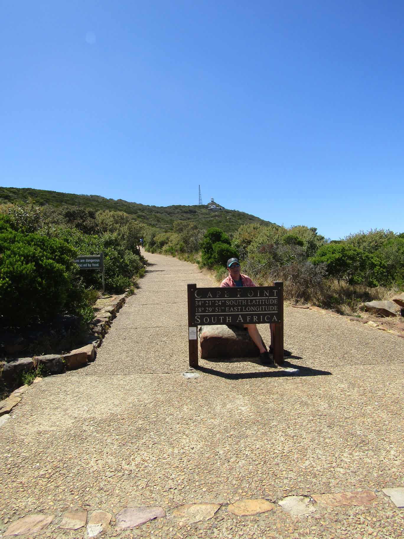
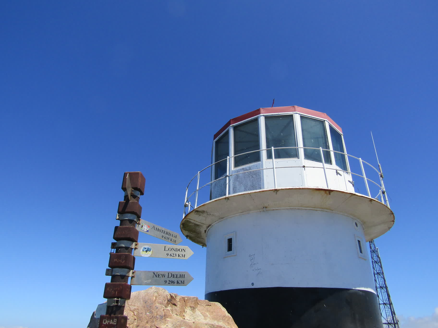
On Saturday (1/13), Wes hired a driver to take Brianna, him and me to see the Cape of Good Hope. We left the boat at 8 a.m. We drove east past the northern end of Table Mountain, then turned south toward False Bay. We drove on a narrow windy road through many seaside resort towns (I had panic attacks every time our driver approached cyclists…while beautiful, it’s not a road I would ride on). We stopped in Simon’s Town to get cash from an ATM and to see the penguins. Then we piled in the car and headed south again to the entrance of the Cape Point National Park and on to the lighthouse overlooking the cape.
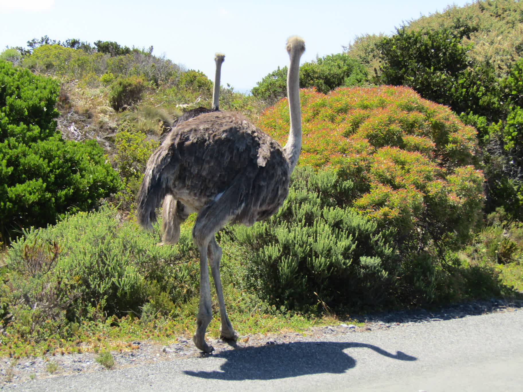
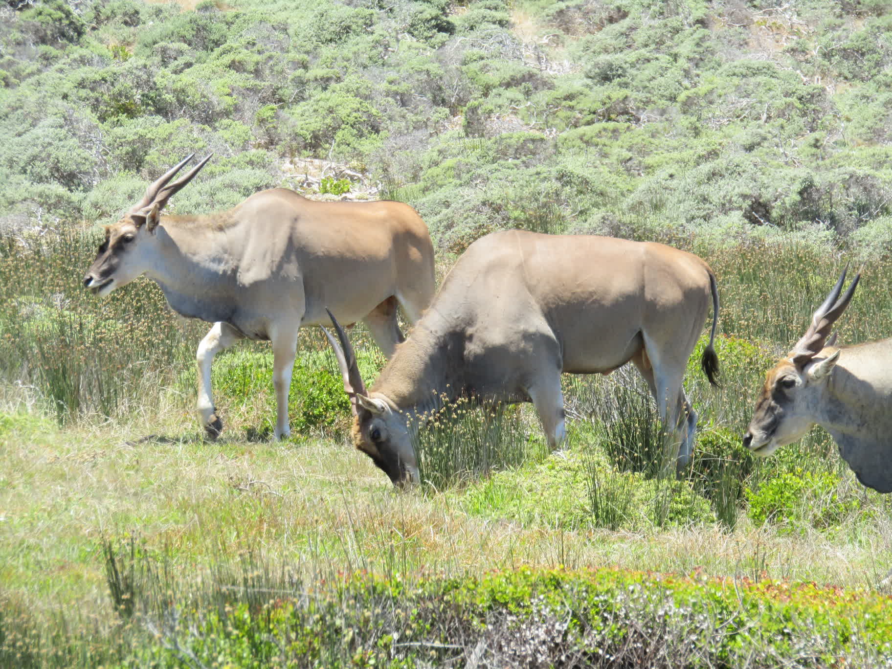
The peninsula is entirely devoid of trees, covered by all kinds of interesting brush and shrubbery. We saw baboons, ostriches and common elands (the baboons scampered off into the bush before I could snap a pic).
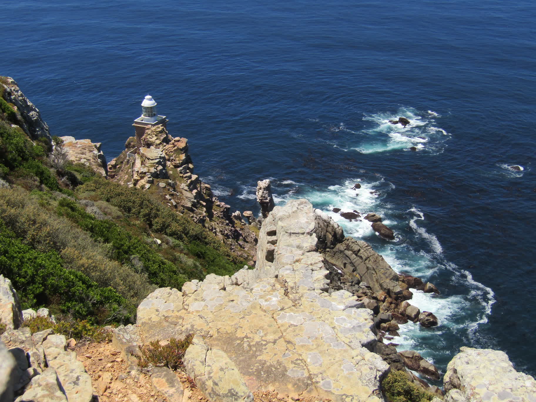
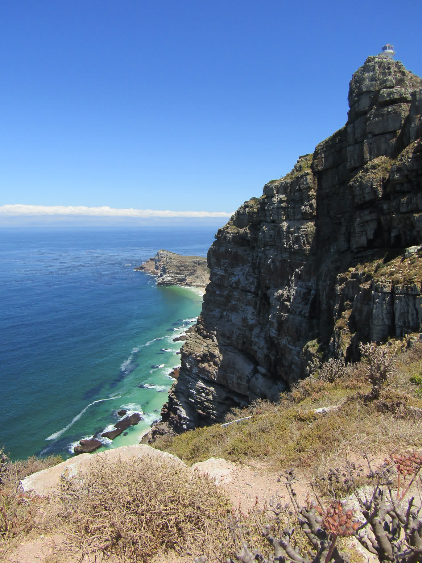
The funicular up to the lighthouse was out of service, so we walked up a long series of stone steps to reach it. We found a trail that seemed to go unnoticed by most people that led around the eastern side of the hill the lighthouse sits on out closer to the actual point. We had almost a half-hour with the place to ourselves.

We drove back along the west side of the peninsula through Scarborough Beach (which narrowly avoided being destroyed in a recent wildfire) and Hout Bay. We stopped at a grocery store in Camps Bay to load up on non-perishable provisions for the trip, loaded it all in the back of car and headed back to the boat in the East Quay.