Arriving in Jamestown, St. Helena
Days 5 through 9 blurred into a pattern of sail changes and motoring as the wind continued to diminish until we had no sails up at all and instead relied on the “iron jenny.”
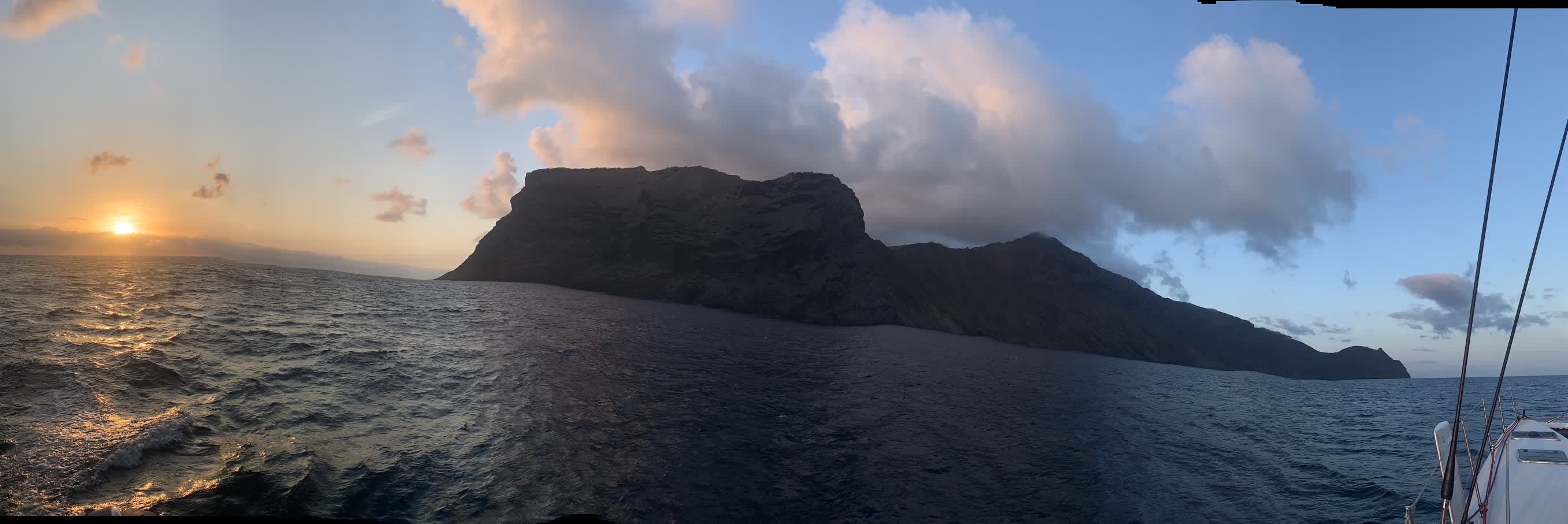
At about 4 a.m. on January 25th, Wes and I spotted lights from the St. Helena airport low on the horizon. As we continued motoring, the outline of the island slowly became visible; it seemed much bigger than I was expecting. I wasn’t able to fight off sleep after my 3-6 a.m. watch and snoozed in the main salon until about 7:30 (the clocks on the boat were still set to Cape Town time, two hours ahead of St. Helena time). By then we were along the cliffs on the eastern shore of the island:
The iPhone’s Panorama feature tried its hardest to make sense out of taking an extended picture from the rolling deck of a boat:
Jamestown is on the northwest shore of the island. Wes had received word several days ago that the mooring field was closed to visiting yachts and that we would have to anchor during our time on the island. We could see other boats lying at anchor as we rounded Sugar Loaf Point.

The Port Authority had sent Wes coordinates for where we were supposed to anchor, but they weren’t terribly specific, so we motored through the other boats looking for a suitable spot and ultimately opted to anchor outside of all the other boats at a depth of about 30 meters. Dan lowered the anchor using his big toe while the rest of the crew supervised:
The ferry service that brought “yachties” ashore didn’t start running until 8 a.m. (10 a.m. boat time), so we had a little breakfast while we waited. We could all very much feel the concrete pitch and roll under our feet as we went to visit the customs and immigration offices; at one point I had to sit down and close my eyes because I felt so queasy trying to fill out the paperwork.