Shore Leave - A Tour of St. Helena Island
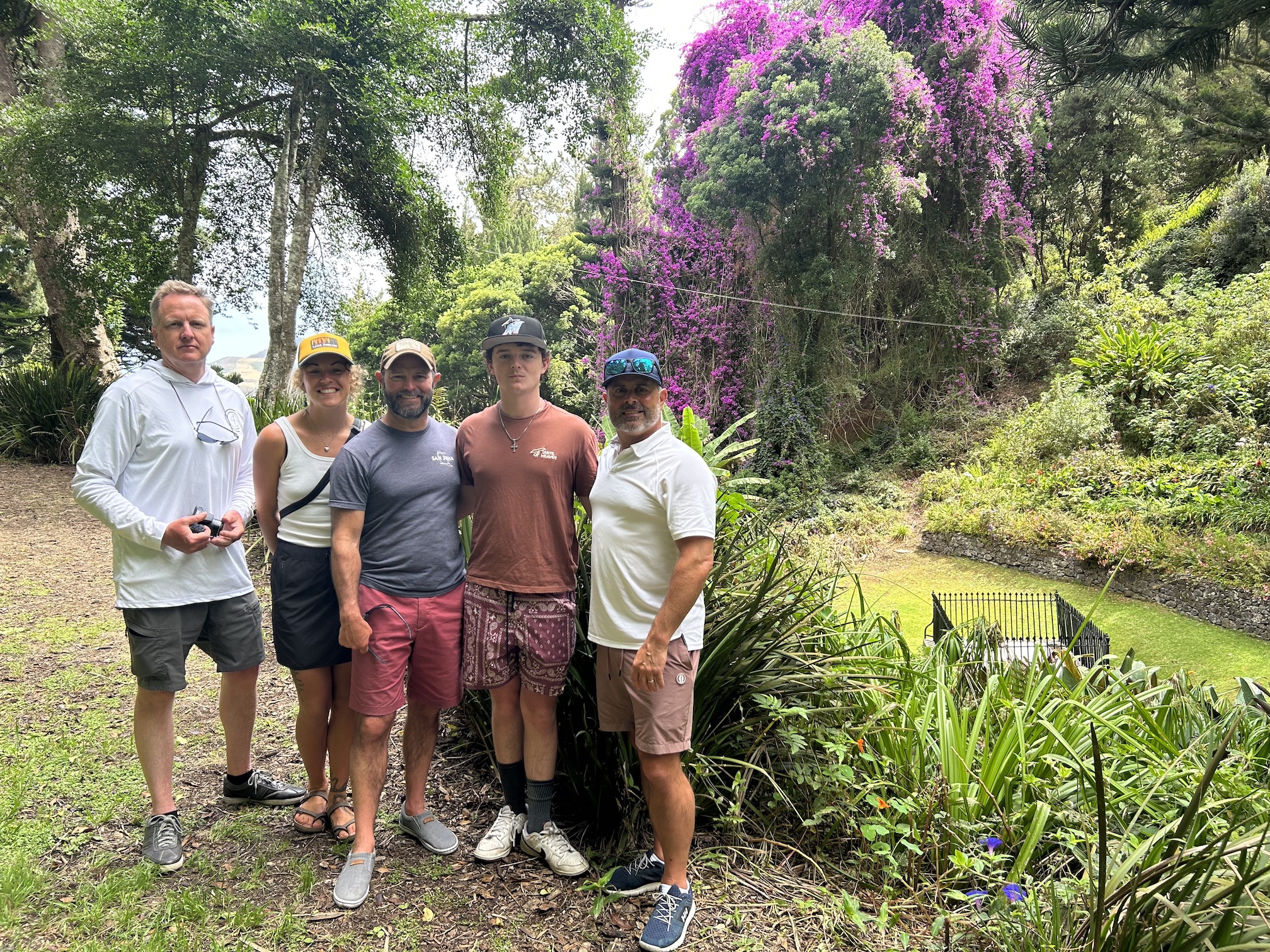
Wes had put Dan in charge of finding a tour guide to take us around the island. The first person Dan contacted was already booked for the day, but he recommended another fellow named Robert, so Dan made arrangements with Robert to meet on Friday, January 26th at 9 a.m.
We had intended to catch the first ferry to the wharf at 8 a.m. and find a place for a little breakfast, but as it turned out, the ferry was having engine problems that morning (apparently a chronic problem, given the number of tools and boat parts strewn around the inside of the ferry), so we didn’t make it ashore until after 8:30.
We still made an attempt to find food. Wes and Brianna headed to Dan’s Bakery (Dan wasn’t allowed to visit Dan’s Bakery because it might have torn a hole in the space-time continuum); Dan, Auden and Justin went to a little deli to purchase sandwiches for later in the day.
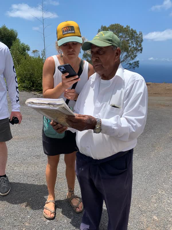
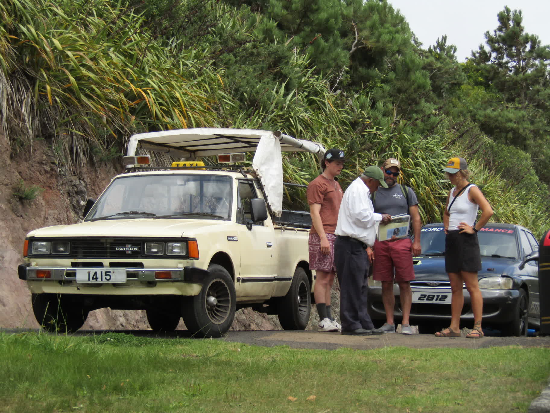
The deli took much longer than anticipated to make the sandwiches, so Dan went back to the waterfront to find Robert at the pre-arranged meeting point.
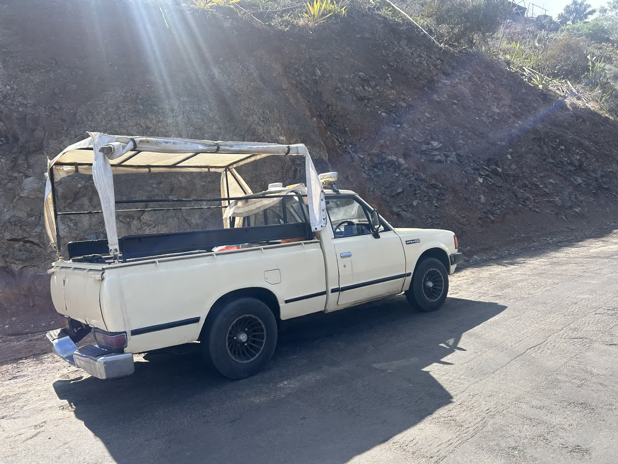
Robert and his 1980 Datsun 1800 pickup weren’t exactly what we were expecting, but he turned out to be a delightful tour guide. At 88 years of age, he had witnessed and/or participated in a large chunk of the island’s recent history, and he seemed to know many of the people we encountered along the way. He was very passionate about his home, and would often stop the truck two or three times between major landmarks to expound on some bit of history not found in the guidebooks.
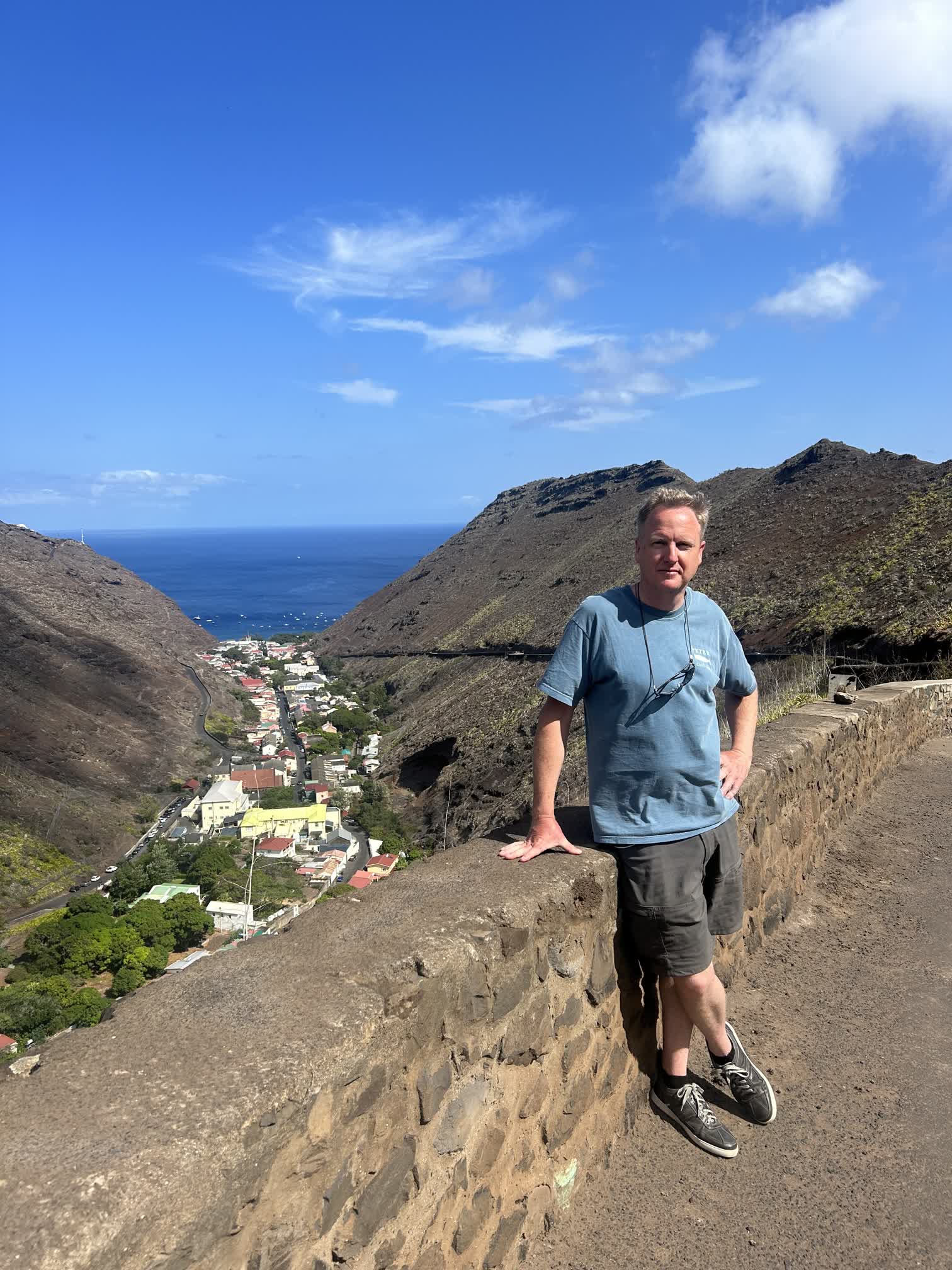
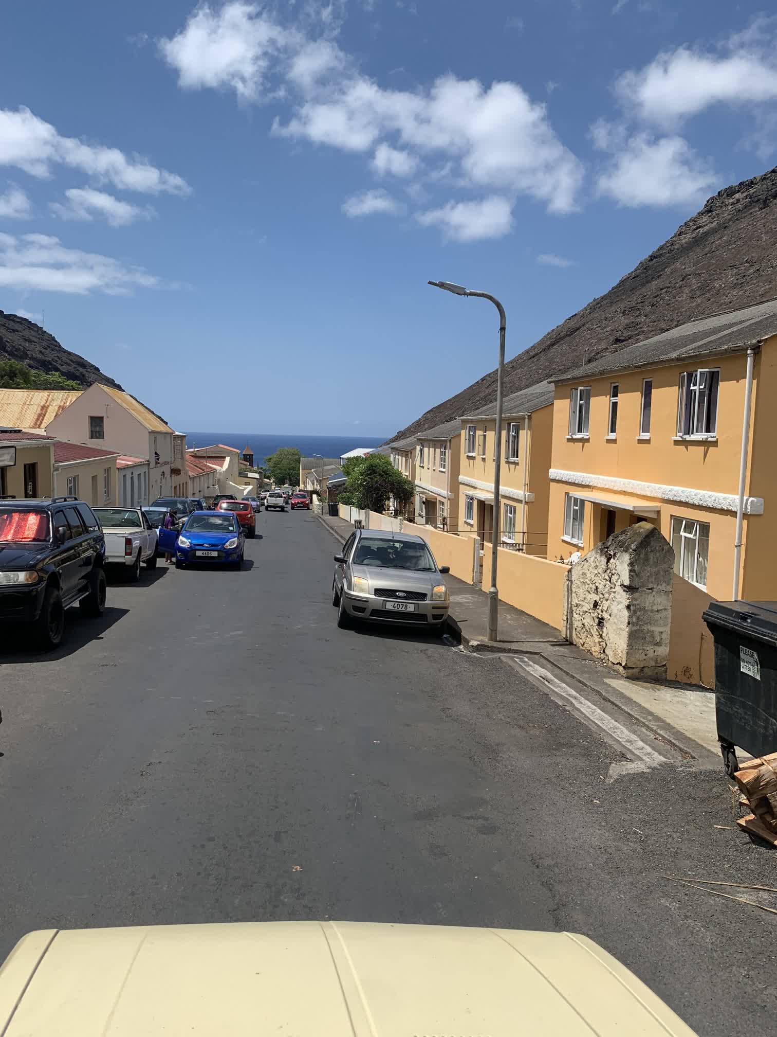
Robert drove us east through Jamestown and along a steep one-and-a-quarter lane road up the face of Bunker Hill. A few times we had to perform a delicate dance getting around traffic coming down the hill. We paused near the top so Robert could point out some buildings and sites of interest looking down on Jamestown.
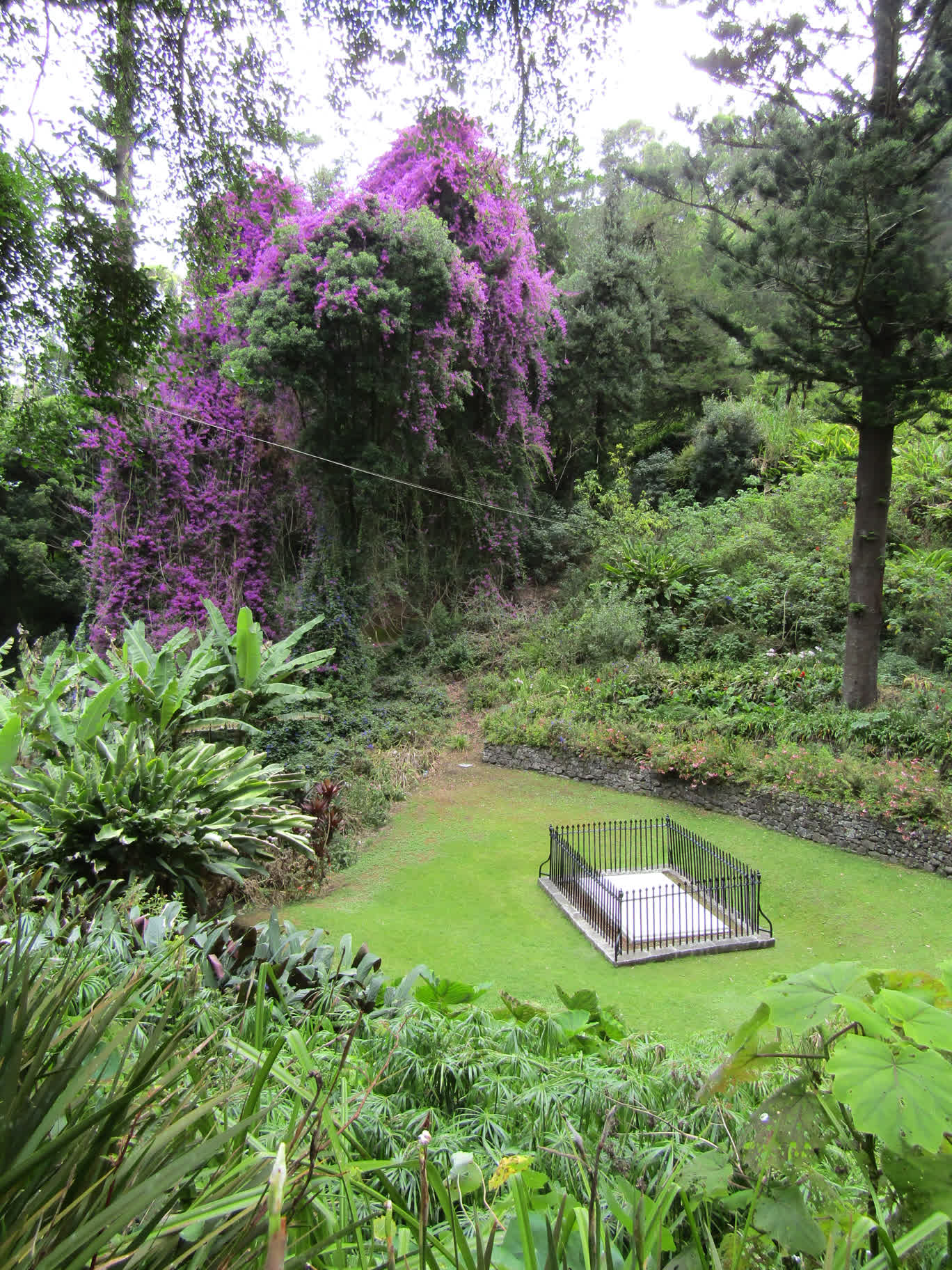
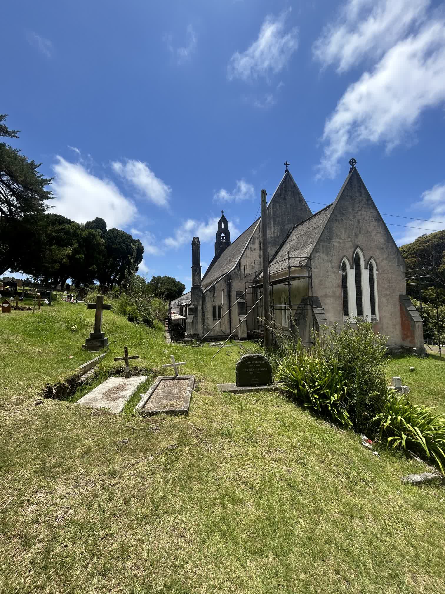
We continued on into the lush interior of the island and made our way to the site of Napoleon’s grave. Robert stopped the truck and we all hopped out to stroll down a well-manicured path to the grave site. On the way there, Dan managed to capture a video of a fairy tern hovering curiously over Auden:
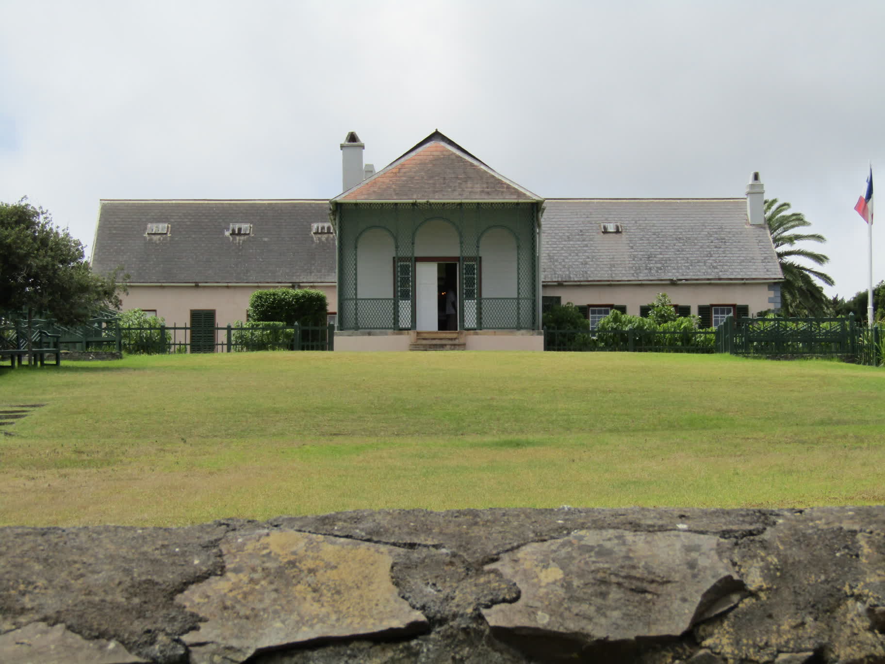
After the grave site, it was on to the house at Longwood, where Napoleon spent most of his exile on the island and the house in which he died. We weren’t allowed to take photos inside, and I didn’t do a great job of capturing the exterior, but imagine a rambling 18th century farmhouse that had been spiffed up a bit for a deposed emperor, and you get the idea (I’m sure the web has many pictures anyway).
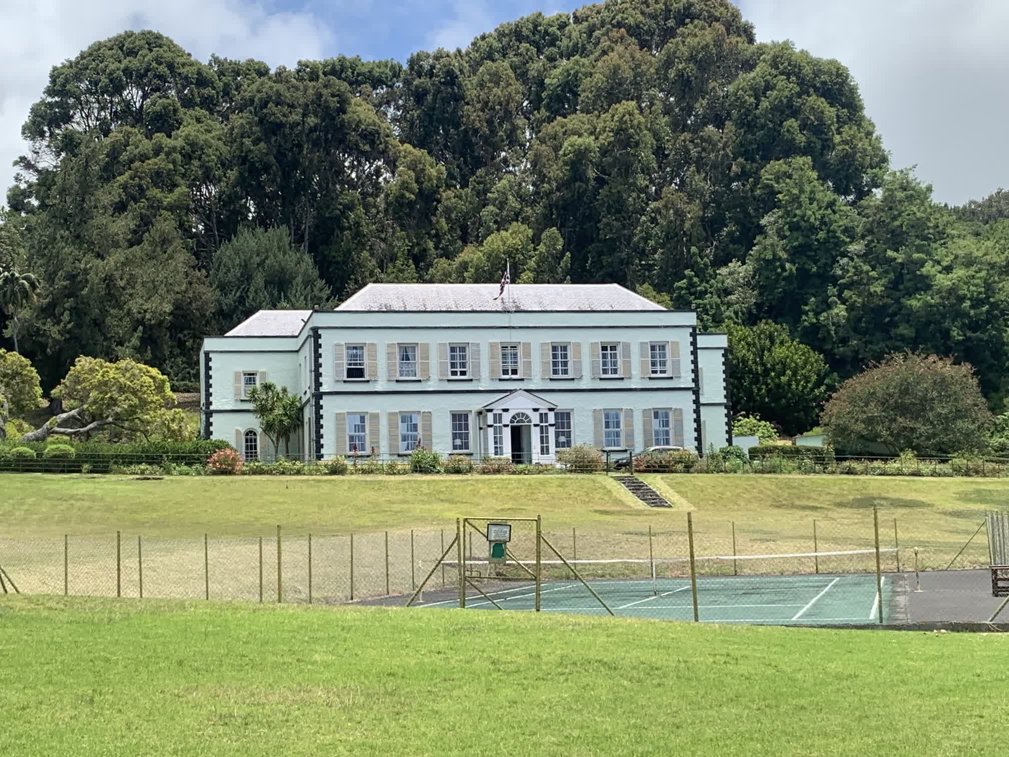
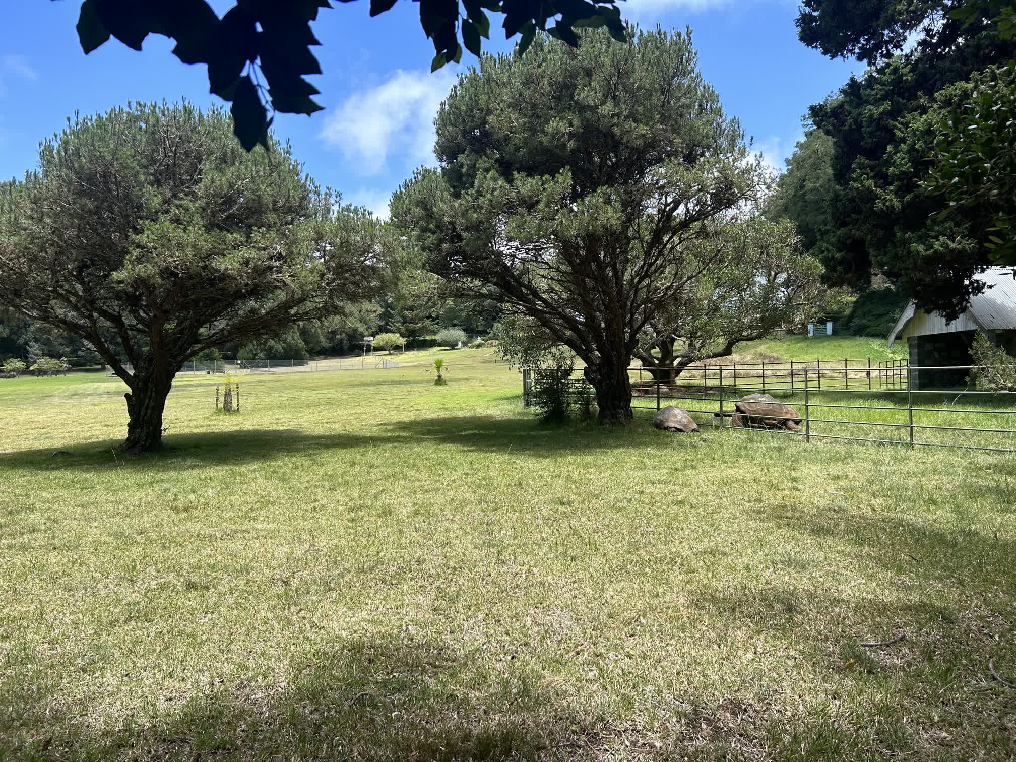
Then of course we had to visit the tortoise Jonathan, the oldest living land animal in the world. He lives at The Plantation, which is also the residence of the Governor of St. Helena and the place where Prince Edward stayed while he was on the island. Unfortunately, getting up close to Jonathan is reserved for dignitaries, so we had to make do with camera zoom.
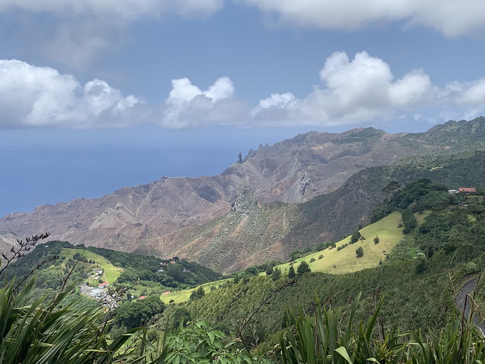
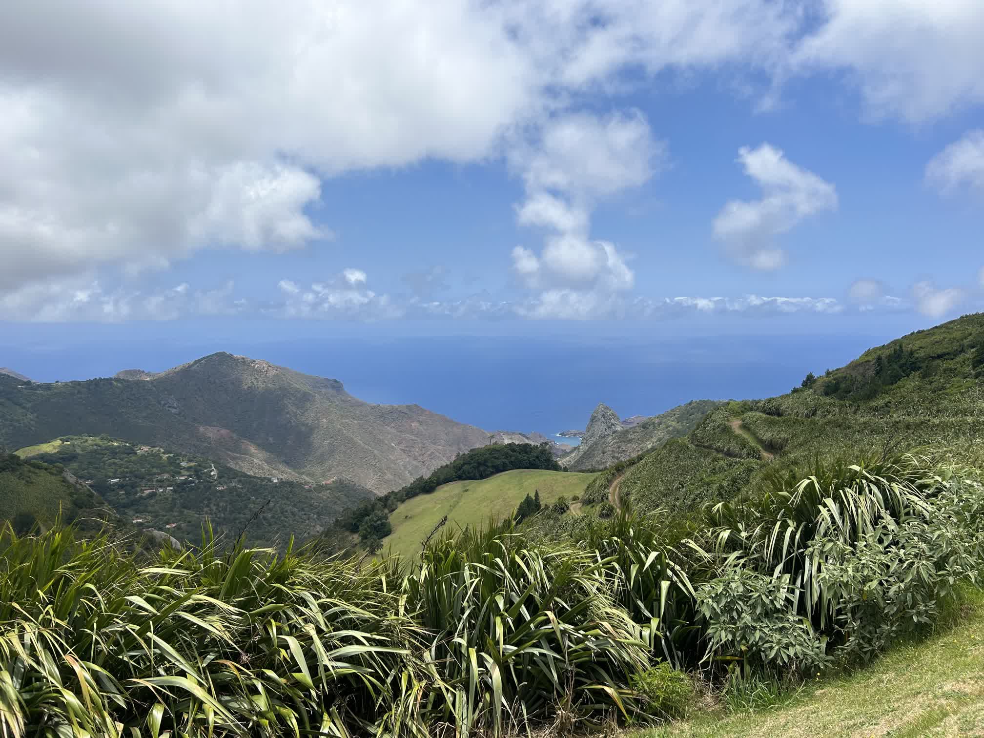
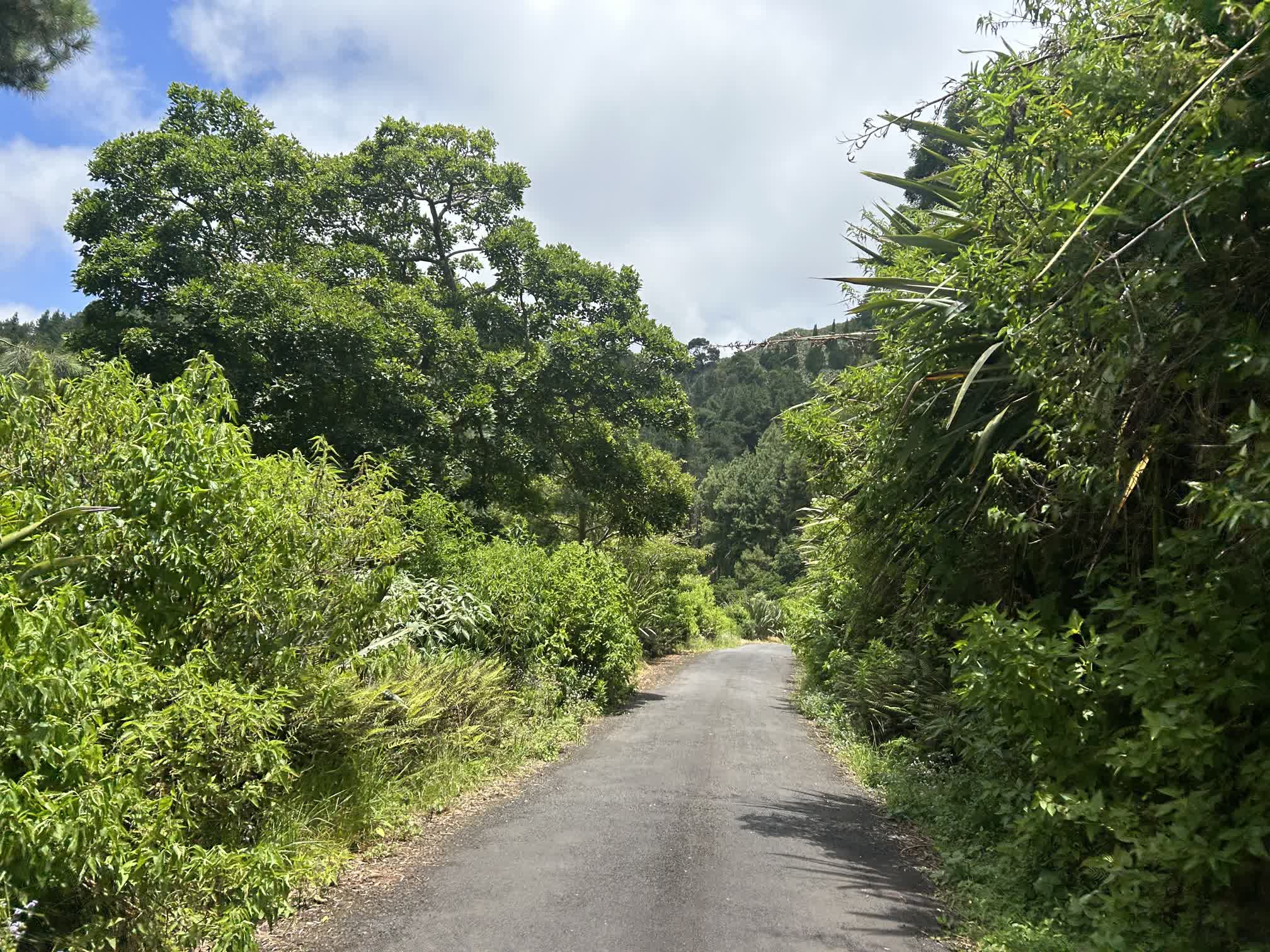
After the “standard” tourist stops, Robert drove us to some of the more out-of-the-way places. You could tell he was happy to be talking about the “real” parts of the island. He himself was born and raised in Blue Hill, on the southwestern part of the island. He spoke about it almost like it was a country unto itself.
The best word to describe St. Helena’s topography is “vertiginous.” There is very little ground on the island that is flat, and if a road wasn’t running across the face of a hill, it was typically very steep.
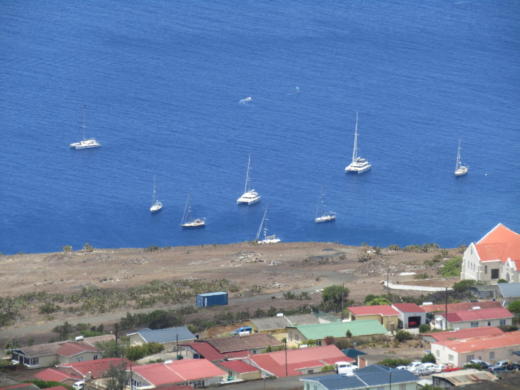
Robert drove us back down to Jamestown, kindly waited for us to do some grocery shopping, then drove us and our groceries back to the wharf.
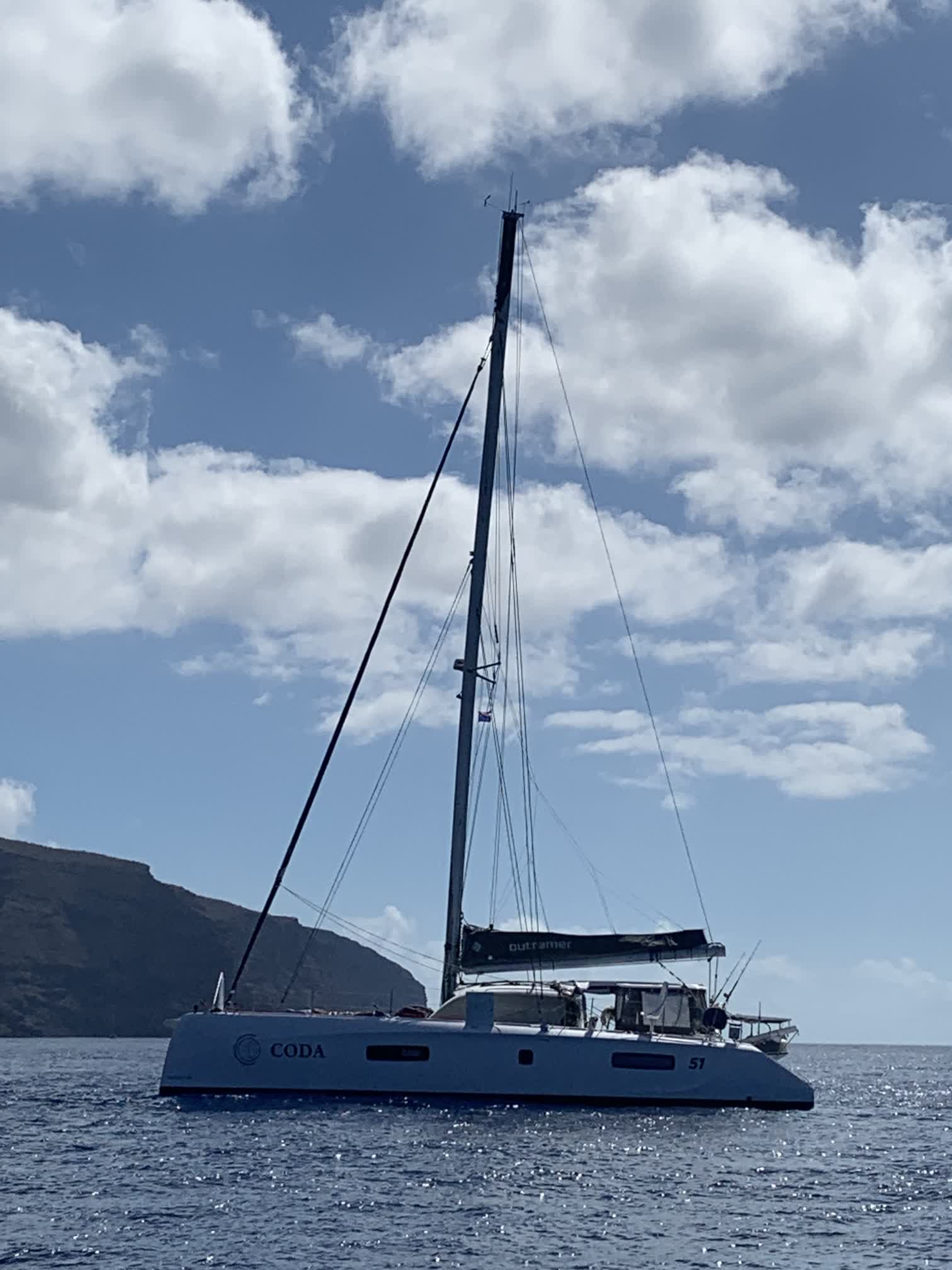
We took the ferry back to Coda, stowed the groceries, and went for one last swim under the boat:
About 4 p.m., we weighed the anchor, raised the sails, and put the boat on a WNW course in hopes of taking advantage of some wind that would soon be gone.